
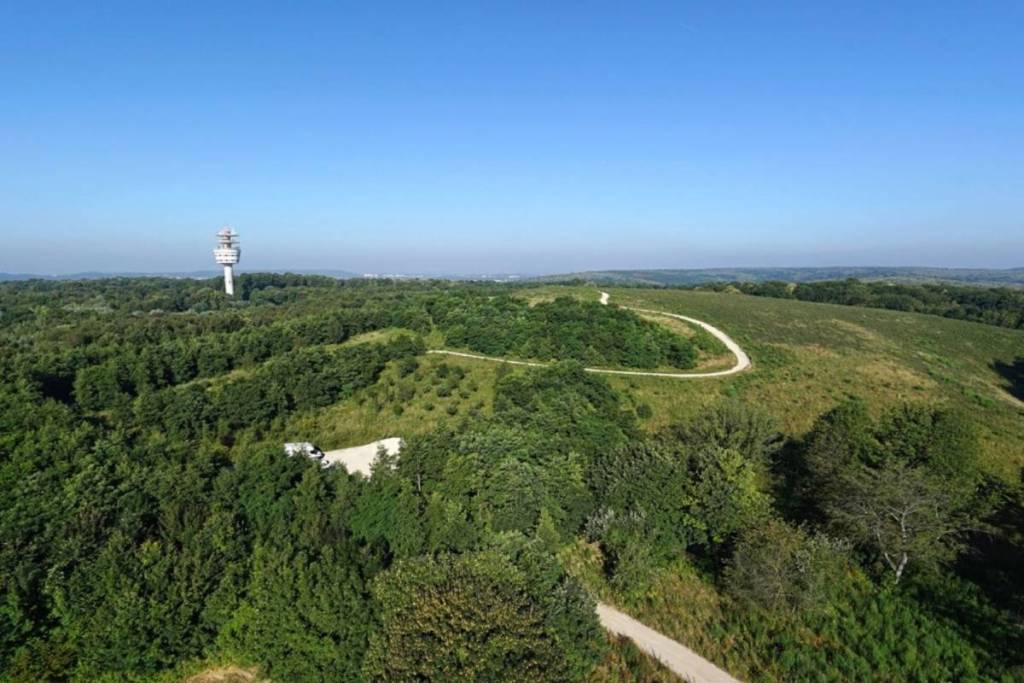

From the summit of the Andilly Plateau, the Parisian suburbs suddenly seem much farther away. The view stretches beyond the rooftops of the Val-d’Oise and extends to the forests of Montmorency, L’Isle-Adam, and Saint-Germain-en-Laye. On a clear day, you can also make out the Plaine de France, Paris, and several of its landmarks. Yet this 360° panorama is located just 10 kilometers north of the capital, in the heart of a 92-hectare regional nature reserve.
For several years, the plateau was mined for its clay deposits, before being used for vegetable farming and then becoming an industrial wasteland consisting of abandoned lots. Its gradual transformation has helped recreate a more open landscape, where pastures, orchards, small wooded areas, and paths accessible to hikers now alternate.
The Andilly Plateau: A Scenic Walk in the Val-d’Oise
The main appeal of the walk lies in the variety of the route. In just a few minutes, the trail passes from a clearing to an orchard, then reaches the edge of the Montmorency Forest.
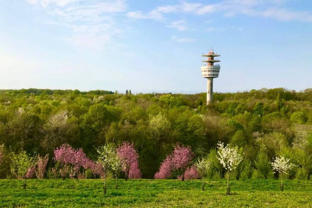
This location gives the plateau a unique role in the landscape of the Île-de-France region. It is the only open space in the entire Montmorency Forest and forms a natural link with the Écouen Regional Forest, the Chauvry Valley, and the future Pierrelaye Forest. Deer, foxes, and wild boars frequent the area, while the meadows are home to field flowers such as poppies.
The “Sentier des Lisières” trail crosses the plateau and allows you to extend your hike around the Montmorency massif. The full route is 27 kilometers long, but you don’t have to complete the entire loop to enjoy the viewpoint. A shorter walk is enough to reach the main viewpoints and explore the site’s varied landscapes.
The plateau is open to the public and can be reached via Route du Fort, or by public transportation on bus 13 from the Enghien-les-Bains train station, getting off at the Croix Blanche stop.
Location: Plateau d’Andilly, Route du Fort, 95580 Andilly