
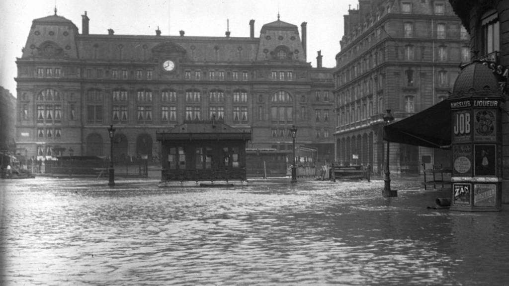

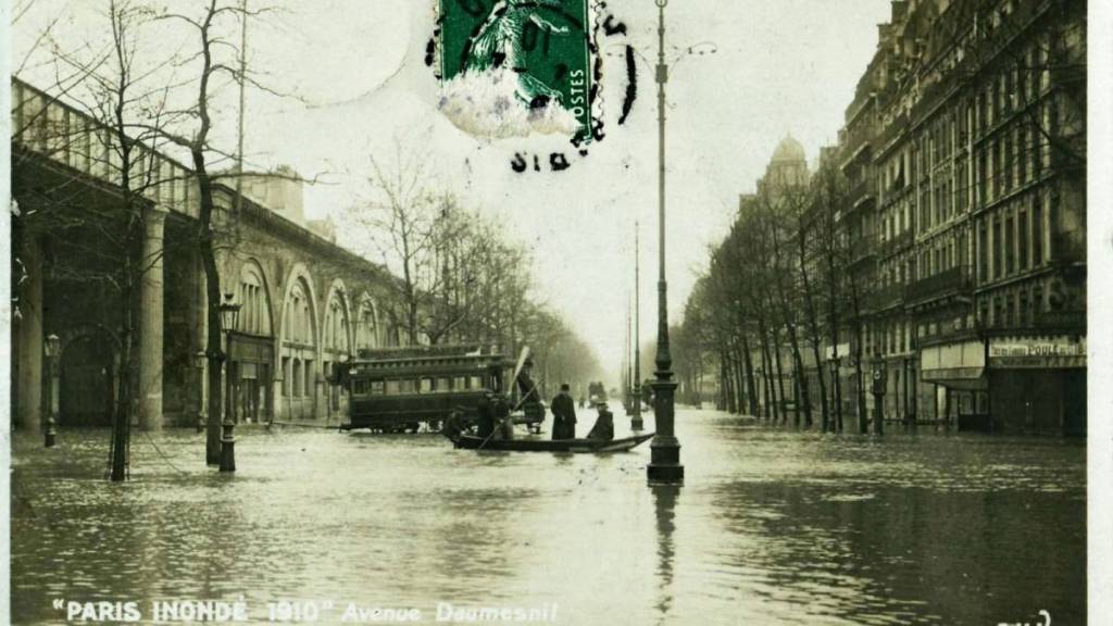
At the end of January 1910, some postcards of Paris seem almost surreal. Residents walked along wooden walkways in the middle of the streets, boats drifted past buildings, and entire quays had vanished beneath the water. On January 28, the Seine reached 8.62 meters at the Pont d’Austerlitz, compared to about 2 meters under normal conditions. The capital had just entered one of the most spectacular episodes in its modern history.
During this exceptional flood, approximately 720 hectares of Paris were flooded and 20,000 buildings were affected. Nearly 150,000 Parisians were directly affected, while the suburbs also suffered significant damage. As a result, part of the city operated at a reduced pace for several weeks.
How Paris Found Itself Under Water in January 1910
Partly explaining this phenomenon, the final months of 1909 were particularly wet, and the soil in the Paris Basin was already saturated when further heavy rainfall fell during the winter. The soil could no longer absorb the water properly, and it quickly flowed into the Seine and its tributaries.
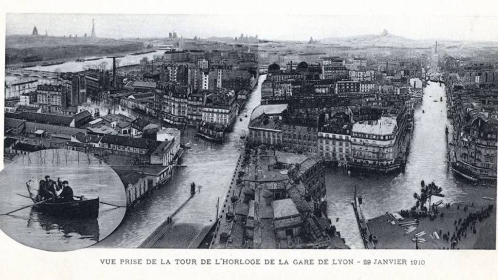
In Paris, one factor further complicated the situation: the water took advantage of the recently developed underground infrastructure. Sewers, basements, railways, and subway tunnels became pathways allowing the floodwaters to spread far from the river. In some neighborhoods, water surged up from underground even though the Seine was not directly visible. Twelve arrondissements are affected, and several hundred streets are impacted.
Half of the metro system was flooded. The Saint-Lazare station was also affected; public transportation was severely disrupted, and certain economic activities became impossible. Wooden footbridges were set up to allow residents to continue moving above the water.
The army and emergency services were mobilized, and the Ministry of the Navy provided 300 foldable boats, which were used to transport residents and supplies in the flooded neighborhoods. Pumps were also operating simultaneously to try to remove water from underground networks and railway infrastructure.
After peaking on January 28, it took several weeks for the Seine to return to normal levels. The rise in water levels lasted about ten days, while the receding phase spanned approximately 35 days. The January–March 1910 flood thus remains the benchmark event used today to assess flood risk in the capital.
Paris is better protected today thanks to reservoirs built upstream, monitoring systems, and various urban infrastructure improvements. A flood of the same magnitude would nevertheless still be capable of significantly disrupting transportation, electricity, heating, and underground networks—even in areas not directly covered by water.